- Published on
- · July 10, 2026
Georeferencing: what it is and how it works
- Blog

- Henrico Piubello
- Henrico Piubello
- IT Specialist - Grupo Voitto
IT Specialist - Grupo Voitto
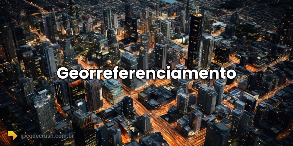
Georeferencing is the process of linking information or objects to specific geographic coordinates — latitude and longitude — making it possible to represent them on a map. The technique connects data to the real world and supports decisions in urban planning, precision agriculture and logistics.
- What is georeferencing?
- Why are geographic coordinates important?
- How does georeferencing work?
- Which tools to use for georeferencing?
- What is the difference between vector and raster data?
- What are coordinate systems and datums?
- How to choose the cartographic projection?
- Where is georeferencing applied?
- How does Machine Learning enhance georeferencing?
What is georeferencing?
Georeferencing is the process of assigning geographic coordinates to data or objects, allowing them to be represented on a map and analyzed in space. It is what transforms abstract data — a record, a photo, a sensor — into something locatable on the Earth's surface.
More than a technique, georeferencing is a decision-making tool. It supports everything from fleet tracking to deforestation monitoring, connecting information to the exact place where it happens. The global geospatial analytics market reflects this relevance: it was valued at **US 226.53 billion by 2030, an annual growth (CAGR) of 11.3%, according to Grand View Research.
Why are geographic coordinates important?
Without geographic coordinates, data is like puzzle pieces without the reference image: they have no spatial system to bind to, which makes it impossible to locate them precisely. Coordinates are the universal address that ties each piece of information to a real point on the planet.
A Geographic Information System (GIS) uses degrees of latitude and longitude to represent points on Earth, dividing the planet into parallels and meridians. This grid allows calculating distances, overlaying data layers and answering spatial questions — for example, how many schools exist within 1 km of a risk area. To handle growing volumes of spatial information, georeferencing connects directly to the universe of big data and data analysis.
How does georeferencing work?
Georeferencing works by associating each piece of data with a pair of coordinates. Depending on the information's origin, the path changes. When collecting field data with a GPS (Global Positioning System), latitude and longitude coordinates are recorded automatically by the receiver.
When you only have a textual address, geocoding comes into play: the process of converting that address into geographic coordinates. Services like the Google Maps API perform this translation at scale. Once georeferenced, the data can be overlaid on maps, crossed with other layers and subjected to spatial analyses.
Which tools to use for georeferencing?
Georeferencing tools are divided between desktop software and programming libraries. Among software, QGIS (free and open source) and ArcGIS lead, allowing associating objects, vectorizing maps and processing satellite images efficiently.
For those coming from the world of Data Science, the Python ecosystem offers a robust and programmable alternative:
- GeoPandas: manipulation of geospatial data.
- Pysal: geospatial analysis and spatial statistics.
- Folium: visualization on interactive maps.
GeoPandas
GeoPandas is a library that lets you work with GeoDataFrames, an extension of Pandas DataFrames geared toward geometries. This eases operations between spatial geometric objects and even generating maps directly from the data, without leaving Python.
Pysal and Folium
Pysal is focused on geospatial analysis and spatial statistics, while Folium is excellent for visualizing geographic information on interactive maps. Together, the two libraries cover the analytical end and the visual end of working with georeferenced data, and are common in data projects here at CodeCrush.
What is the difference between vector and raster data?
Geospatial data is organized in two main ways: vector and raster. Vector data represents the world through points, lines and polygons, being more precise in contours and taking up less space. Raster data represents the area as a grid of cells (pixels), ideal for continuous variations, such as satellite images and relief models.
| Characteristic | Vector data | Raster data |
|---|---|---|
| Representation | Points, lines, polygons | Grid of cells (pixels) |
| Precision | High in contours | Depends on resolution |
| File size | Smaller | Larger |
| Typical use | Streets, plots, boundaries | Satellite, relief |
| Ideal analysis | Networks and cadastre | Continuous surfaces |
What are coordinate systems and datums?
A datum is the mathematical model that defines how coordinates refer to the shape of the Earth. Beyond the geographic coordinate system, there are different datums, and using the wrong one shifts positions by meters. WGS84 is a standard geocentric datum for global mapping and GPS navigation.
In Brazil, the official datum is SIRGAS2000, mandatory since February 25, 2015, when the IBGE ended the transition period from local datums like SAD69. Choosing the correct datum is the first step so that data from different sources overlap without error.
How to choose the cartographic projection?
The choice of cartographic projection is vital because no flat map reproduces the Earth without some deformation. Each projection prioritizes one property — area, angle or distance — and the selection depends on the analysis's objective. The Mercator projection, for example, is common in maritime navigation for preserving angles.
The Lambert Conformal Conic Projection, in turn, is indicated for maps of large regions in mid-latitudes. The practical rule is simple: first define what the analysis cannot distort and choose the projection based on that.
Why does every projection distort reality?
Every cartographic projection distorts reality because it converts a curved surface into a plane. Some preserve areas, others preserve angles and others maintain distances from specific points — but none preserves everything at the same time. That is why the projection choice must be conscious, aligned with the map's objectives and not random.
Where is georeferencing applied?
Georeferencing is applied whenever a decision depends on where things are. In healthcare, it helps track the spread of diseases; in business, it reveals demographic and traffic patterns that generate competitive advantage; in the environment, it monitors deforestation and disasters. The list below summarizes the most common uses:
- GPS navigation systems: precise directions and real-time maps in vehicles and mobile devices.
- Terrain mapping and topography: relief maps for urban, agricultural and construction planning.
- Natural resource management: monitoring of forests, rivers and protected areas for sustainable management.
- Remote sensing: satellite and drone images to analyze large areas and natural phenomena.
- Precision agriculture: optimized use of water and fertilizers based on the georeferenced analysis of fields.
- Asset management: tracking of fleets and equipment for logistical efficiency.
- Urban planning and cadastre: construction zones and property records for taxation purposes.
- Market analysis: customer location and choice of retail points of sale.
- Disaster monitoring: tracking of fires, floods and earthquakes for emergency response.
- Logistics and delivery tracking: route optimization and real-time package monitoring.
How does Machine Learning enhance georeferencing?
Machine Learning enhances georeferencing by identifying complex patterns in large volumes of spatial data that would be invisible to the naked eye. By combining artificial intelligence (AI) and georeferenced data, it is possible to automate tasks such as detecting changes in land use and predicting natural disasters.
Algorithms trained on satellite images, location data and environmental variables allow forecasting traffic, mapping urban expansion and classifying land cover at scale. This marriage between spatial analysis and machine learning helps explain why geospatial analytics grows at double digits per year — Straits Research projects a CAGR of 11.9%, with the sector reaching US$ 230.67 billion by 2033.
Conclusion
If you work with data, ignoring georeferencing is to give up half the story: the "where". Mastering coordinates, datums and projections is not cartographic preciousness — it is what separates an analysis that merely describes from one that guides concrete decisions. Start with the basics using QGIS or GeoPandas, choose the right datum (SIRGAS2000, in Brazil) and treat the spatial dimension as a natural part of your data flow. The return shows up in the quality of the decisions you start to make.
Recommended for this topic
Picked by the editors — only what we would use.
## faq
Frequently asked questions
What is georeferencing?
It is the process of assigning geographic coordinates (latitude and longitude) to data or objects, allowing them to be represented on a map and analyzed in space. It is the basis for precisely locating any element, from an urban plot to a satellite image.
What is the difference between georeferencing and geocoding?
Georeferencing is linking any data to geographic coordinates. Geocoding is a specific case: converting a textual address into latitude and longitude coordinates. All geocoding is a georeferencing, but not all georeferencing starts from an address.
Which tools to use for georeferencing?
The most used software are QGIS (free and open source) and ArcGIS. For those who program in Python, the GeoPandas, Pysal and Folium libraries cover the manipulation, spatial analysis and visualization of georeferenced data.
Which coordinate system to use in Brazil?
The official Brazilian datum is SIRGAS2000, mandatory since February 2015 by IBGE determination. It replaced local datums like SAD69. For global GPS navigation, the standard is WGS84, practically equivalent to SIRGAS2000 for most applications.
Is it worth learning georeferencing in 2026?
Yes. The geospatial analytics market was valued at US$ 114 billion in 2024 and grows at double digits per year. Skills in GIS and spatial analysis are increasingly demanded in data science, agribusiness, logistics and sustainability.
Topics in this article
## continue lendo
Artigos relacionados


Keep browsing
Previous article

Best VSCode themes and extensions: 2026 guide
VSCode is the most used editor in the world (75.9%): see the best themes, like Dracula, and the essential extensions to code faster in 2026.
Read moreNext article

Nielsen Heuristics: the 10 usability rules
The 10 Nielsen Heuristics are usability principles created by Jakob Nielsen to evaluate interfaces and fix UX problems. See each one with examples.
Read moreAbout the author